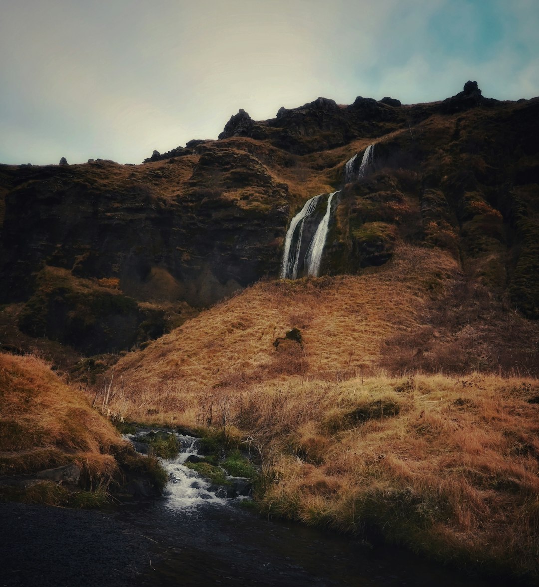
Hiking in Iceland is unforgettable: black sand underfoot, moss‑covered lava fields, roaring waterfalls, and endless views. To enjoy it safely, you need to understand Iceland’s trail markings. They may look simple, but they carry a lot of information about direction, safety, and terrain.
Below is a clear guide to Icelandic trail markings, with tips for hiking near three of Ourhotels.is locations: Hvítá Inn in Borgarfjörður, Stykkishólmur Inn on the Snæfellsnes Peninsula, and Ísafjörður Inn in the Westfjords.
—
Iceland’s main trail markings and what they mean
————————————————
### 1. Painted marks on rocks and posts
On many popular routes you’ll see painted marks:
– **Red or orange stripes/dots** – Most common on hiking routes. They mark the path and are usually placed where the route might be confusing, such as over rocks or across open lava fields.
– **Yellow markings** – Often used in highland or more rugged areas, especially where snow can linger.
– **Blue markings** – Sometimes used near water or glacier areas, but this varies by region.
Follow these marks from one to the next. If you haven’t seen a mark for a while, you may have left the trail.
### 2. Wooden or metal poles
In open landscapes, especially where there’s little vegetation, you’ll often see **poles or stakes**:
– Usually painted at the top (often red, orange, or yellow).
– Placed at intervals so you can see the next one from the last, even in low visibility.
– Common in areas that can be covered by snow or fog, such as higher ground or exposed plateaus.
If the weather turns, these poles can be your lifeline back to safety. Never ignore them in favor of “shortcuts.”
### 3. Cairns (stone piles)
Cairns are traditional Icelandic trail markers:
– **Small stone piles** built along older routes.
– Often used in combination with paint or poles.
– In some areas they mark historic paths between farms or over mountain passes.
Do not build new cairns or move stones; it can mislead other hikers and damage fragile ground.
### 4. Signposts at trailheads and junctions
Most official trails start with a **signpost**:
– Trail name and sometimes a number.
– Distance and estimated hiking time.
– Difficulty level (easy, moderate, challenging).
– Warnings about river crossings, steep sections, or loose rock.
Take a photo of the sign before you start. It’s useful if you lose the path or need to describe your route to others.
—
Trail difficulty and color codes
——————————–
Iceland doesn’t have one single nationwide system, but you’ll often see:
– **Green / Easy** – Well‑marked, short, minimal elevation, suitable for most people with basic fitness.
– **Blue / Moderate** – Longer or steeper, may include rough ground, loose stones, or narrow paths.
– **Red / Challenging** – Steep, exposed, or remote routes, sometimes with snowfields, scree, or unbridged river crossings.
– **Black / Very difficult** – Technical or mountaineering routes; only for experienced hikers with proper gear.
Always match the trail to your experience and the day’s weather, not just your ambition.
—
Seasonal changes: when markings are not enough
———————————————-
Trail markings are designed for **normal conditions**, but Iceland changes fast:
– **Snow cover** can hide paint, cairns, and even poles.
– **Fog and low clouds** can make it hard to see the next marker.
– **Midnight sun** can tempt you to hike late, when temperatures drop and visibility can change.
– **Winter and shoulder seasons** may require GPS, maps, and local advice in addition to trail markings.
Before heading out, check the **Icelandic Met Office** (vedur.is) for weather and **road.is** for road and highland track conditions.
—
Understanding river crossings and warning signs
———————————————–
Some Icelandic trails include **unbridged river crossings**:
– Look for **warning signs** at the trailhead or near the river.
– If there are **poles or flags** marking a crossing point, use them.
– If the water is fast, deep, or brown and muddy, turn back. Conditions can change quickly after rain or warm weather.
Never rely only on what other hikers are doing; always assess the crossing yourself.
—
Trail markings around Hvítá Inn in Borgarfjörður
————————————————
Staying at **Hvítá Inn** in Borgarfjörður (near Borgarnes) puts you close to some of West Iceland’s most accessible and scenic walks, including trails around rivers, lava fields, and waterfalls.
In this area you’ll typically find:
– **Clear signposts** at main parking areas and viewpoints.
– **Painted rocks and wooden posts** marking paths through lava and along riverbanks.
– Short, family‑friendly trails with **green or blue difficulty**.
From Hvítá Inn, the staff at Ourhotels.is can help you:
– Choose routes that match your fitness and time.
– Understand local trail markings and any seasonal changes.
– Get updates on conditions after heavy rain or wind.
This is a great region to practice reading Icelandic trail markings on relatively gentle terrain before tackling more remote hikes.
—
Trail markings near Stykkishólmur Inn on Snæfellsnes
—————————————————–
The **Stykkishólmur Inn** is a perfect base for exploring the Snæfellsnes Peninsula, often called “Iceland in Miniature” because it has a bit of everything: cliffs, beaches, lava fields, and mountains.
On Snæfellsnes you’ll encounter:
– **Coastal paths** marked with posts and occasional painted rocks.
– Trails in national park areas with **official signboards** and clear route descriptions.
– Some longer, more rugged routes where markings may be **farther apart** and weather can change quickly.
From Stykkishólmur Inn, Ourhotels.is can point you to:
– Well‑marked, shorter hikes for relaxed days.
– More challenging marked routes for experienced hikers, with advice on reading the poles and paint in open, exposed landscapes.
– Local viewpoints where understanding the markings helps you safely reach the best photo spots and return before weather shifts.
—
Trail markings around Ísafjörður Inn in the Westfjords
——————————————————
The **Westfjords** are wilder and more remote, and **Ísafjörður Inn** is an ideal base for exploring this dramatic region. Here, understanding trail markings is especially important.
Expect:
– **Older cairns** marking traditional paths between fjords and over passes.
– **Metal or wooden poles** across open, windy plateaus.
– Trails where markings can be **subtle or weather‑worn**, especially on less‑visited routes.
Because the terrain is steeper and more exposed:
– Always check the **trailhead sign** carefully for distance, time, and difficulty.
– Pay attention to **warning signs** about rockfall, steep drops, or snowfields.
– If you lose sight of the next marker, stop, backtrack to the last one, and reassess rather than pushing forward blindly.
The team at Ísafjörður Inn can help you choose routes that match your experience and explain how local markings work on specific trails, including any recent changes or closures.
—
How Ourhotels.is helps you hike safely
————————————–
Staying with **Ourhotels.is** at Hvítá Inn, Stykkishólmur Inn, or Ísafjörður Inn gives you more than just a comfortable room:
– **Local trail knowledge** – Staff can explain the markings used on nearby routes and suggest hikes that fit your plans.
– **Up‑to‑date information** – Weather and trail conditions can change daily; local advice helps you interpret what the signs and markers don’t tell you.
– **Route suggestions** – From easy, well‑marked walks to more adventurous routes, you’ll know what to expect before you set out.
By combining local guidance from Ourhotels.is with a solid understanding of Icelandic trail markings, you can explore West Iceland and the Westfjords with confidence, enjoying the landscapes while staying safe and on track.
When you’re ready to hike, let the markings guide your steps—and let Ourhotels.is help you choose the right path.